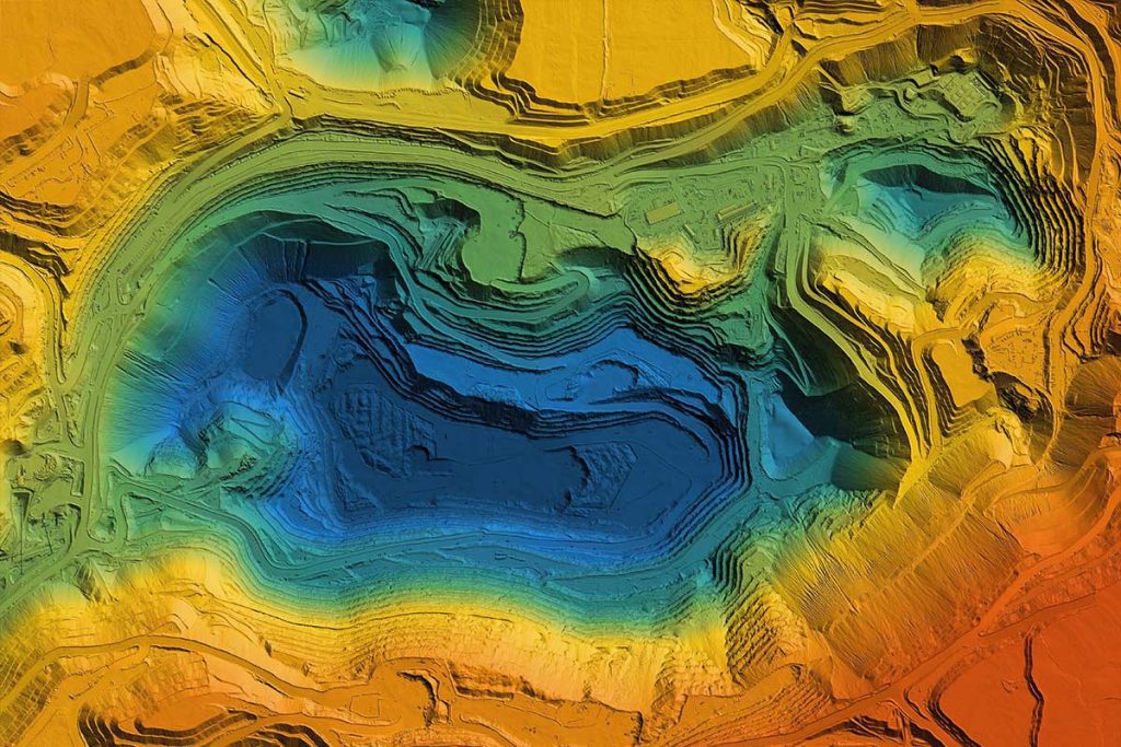
Stock will describe an emerging cross-agency, international effort to develop sensors, platforms, and enabling technologies that will accelerate our ability to image the subsurface of planetary bodies, in pursuit of critical resource maps and new scientific understanding.
Jonathan Stock is a research geologist and director of the USGS National Innovation Center (NIC). The Center’s goal is to identify national scientific problems where our core interests are aligned with our partners, and to pursue them jointly using scarce federal dollars to best serve the public.
The Center works with technology partners in the Bay Area and beyond, including Carnegie Mellon University, NASA Ames, UC Santa Cruz and Monterey Bay Aquarium and Research Institute, to design, test and bring into operation the next generation of tools to address challenges from environmental pollution, sea level rise, earthquakes, landslides and other geologic hazards. In his role as a research scientist, Jonathan uses mapping, real-time monitoring, and modeling to understand the effects of climate and land use change on the hazards and evolution of steep landscapes. His previous work has been directed at constraining the relief of ancient mountain ranges, numerical calibration of landscape evolution laws, and the mechanisms by which Earth’s steep valleys are cut by debris flows. He is currently working on real-time monitoring of shallow landslides and debris flows in the Bay Area and northern California, forecasting geologic hazards from future storms, the effects of land use on maintaining DoD training areas and on coral reef pollution in the Pacific, and the evolution and hazards of alluvial fans.


